Navigating the Bible
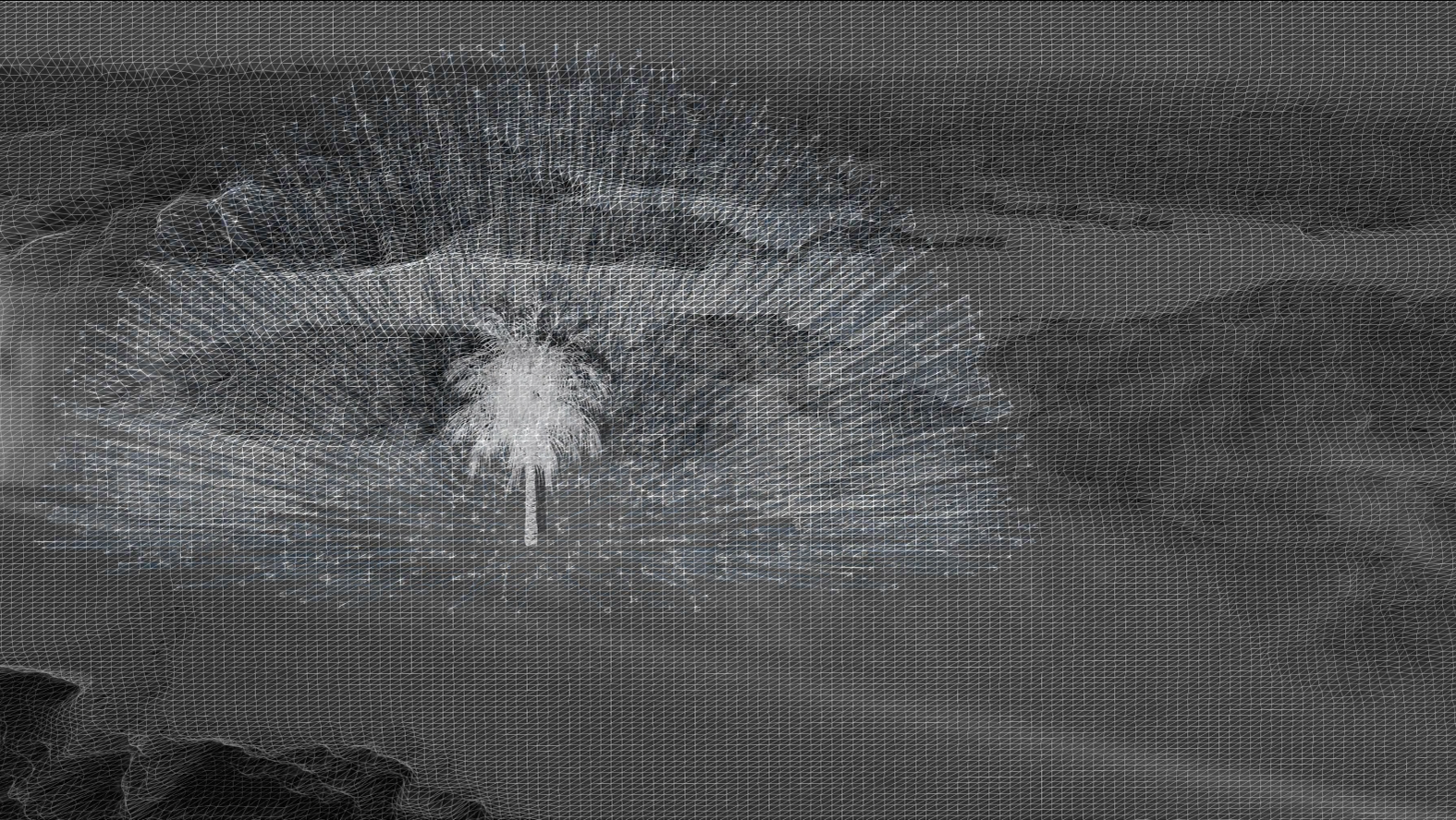
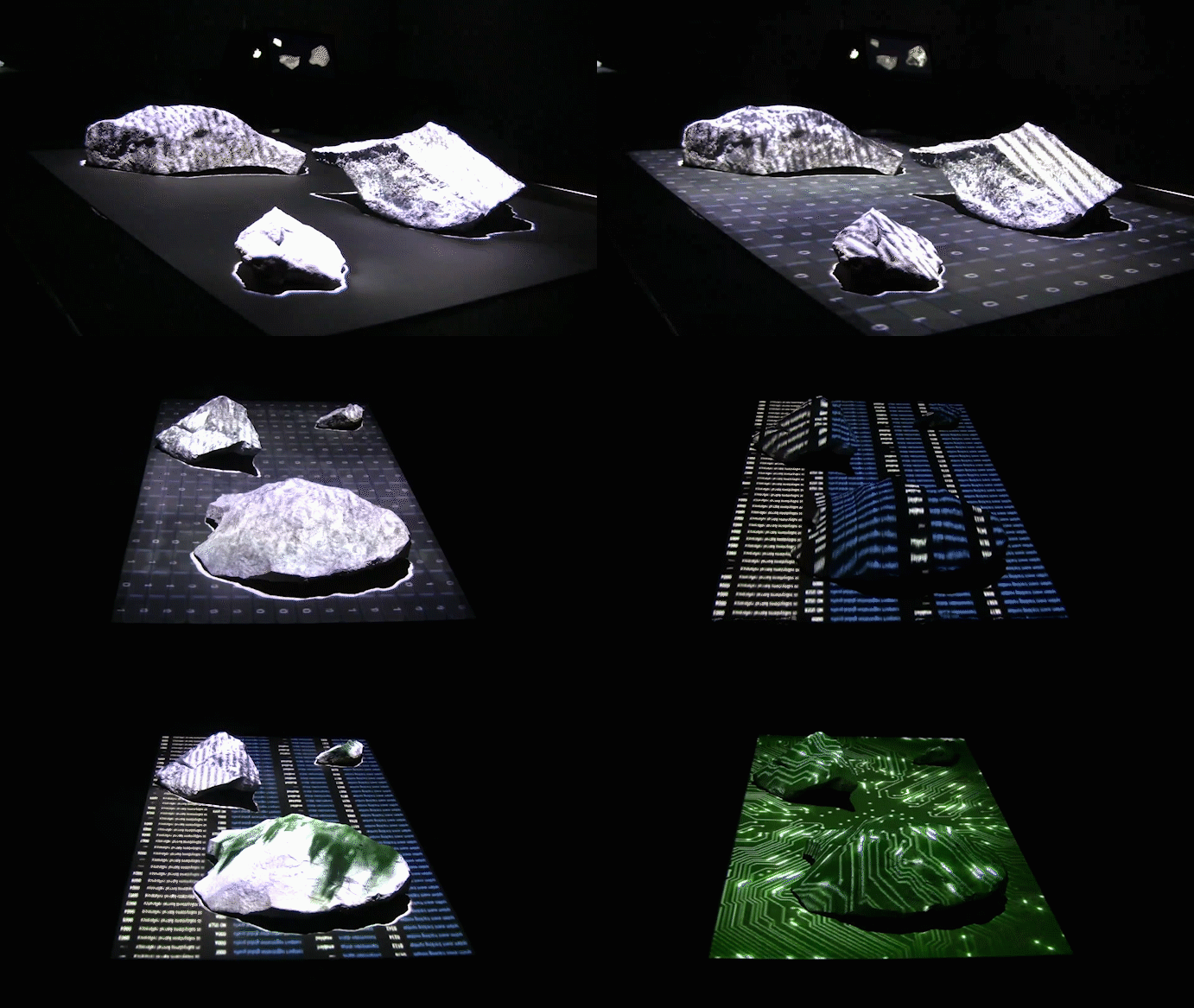
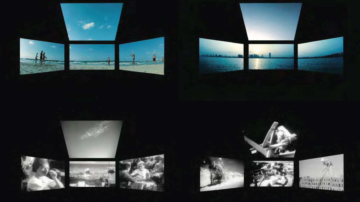
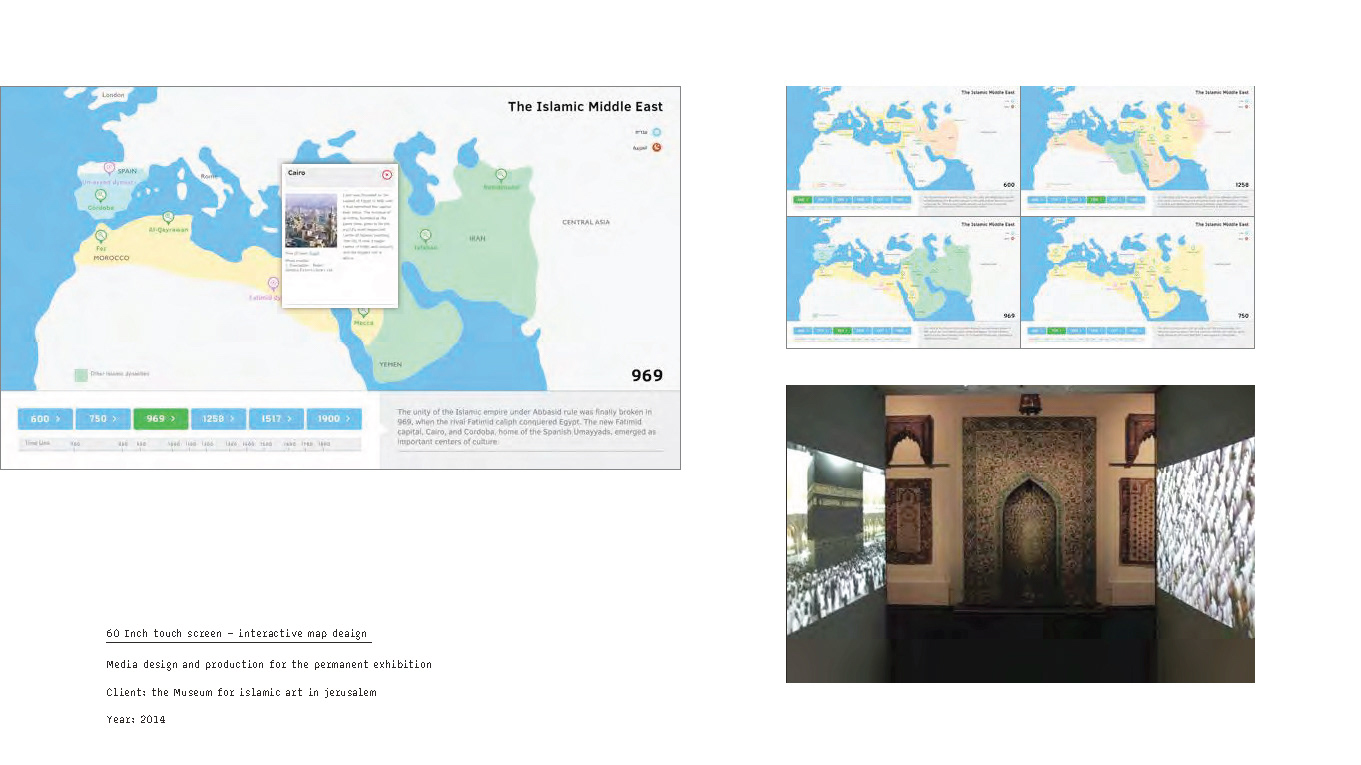
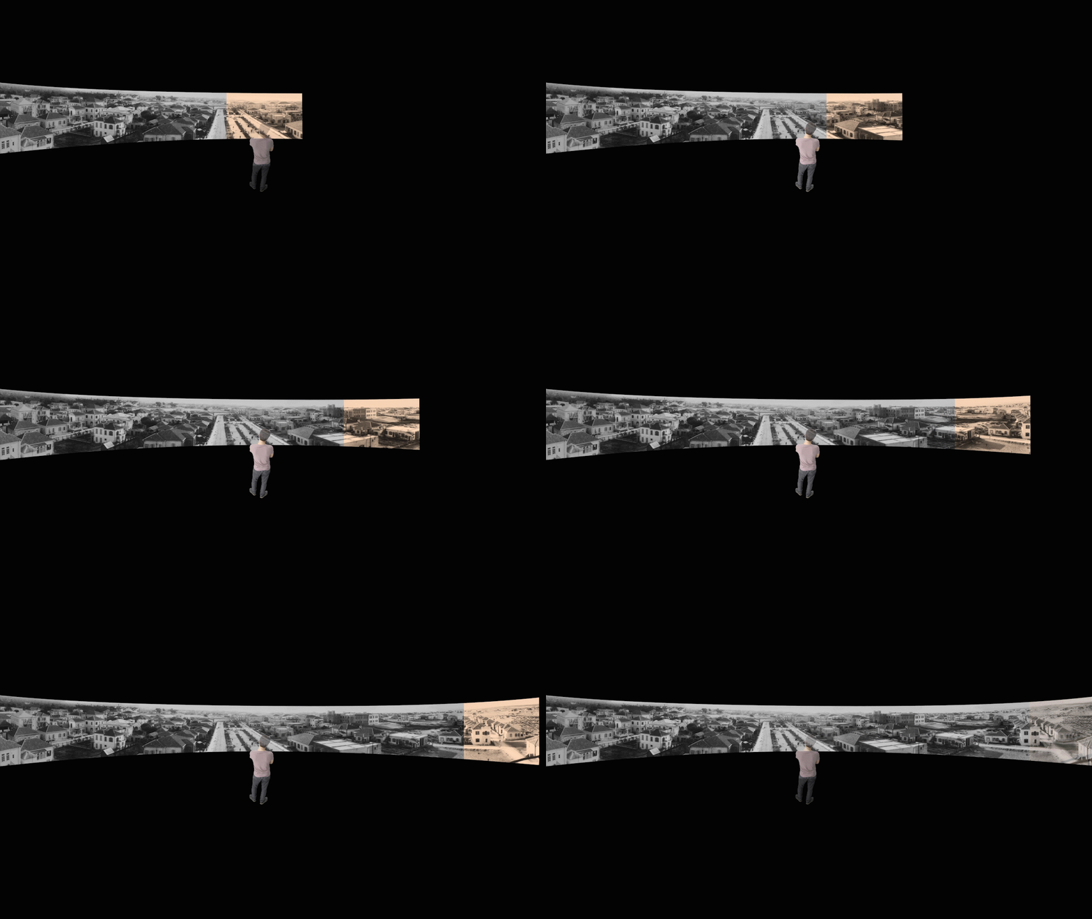
Navigating the Bible: Early Maps of the Holy Land from the Chinn Collection Map Exhibition, The Israel Museum Jerusalem. This exhibition curated by Ariel Tishbi illuminates the deep interconnections between art and cartography. In its heart is a rare 17th-century wall-map from the Golden Age of Dutch cartography, the work of brothers Arnold and Nicolaes van Geelkercken. Exemplifying the concept of “Sacred Geography,” this map serves as a point of departure for genealogical research, examining the map’s predecessors as well as its successors, and for iconographical research, tracing the art displayed in the map and on its margins as well as the complex religious messages it conveys. The digitalized installations we constructed enables the viewer to fully appreciate the crafting of the maps as well as interact with them in a way that was never possible before.
